Avalanche Forecast
News
Forecasting Operations
4/16/2024The Mount Washington Avalanche Center has ended 5-scale daily avalanche forecasts for the 2023-2024 season.
MWAC will continue to track snow and weather conditions and issue General Avalanche Information bulletins on Tuesdays and Fridays by 7am for the remainder of the spring season. This schedule may be adjusted in the event of significant weather. Snowplot data will be available daily by 7am and continue to watch MWObs and NWS forecasts to assist in trip planning. Also check recent field reports on the MWAC Observations Page.
Avalanche Beacon Training Park
4/16/2024The Avalanche Beacon Training Park is closed for the season
Observations
View recent avalanche, snowpack, and weather observations.
View Recent Observations Submit an Observation
Your avalanche, snowpack, and weather observations are extremely valuable to the community and the avalanche forecasters at the Mount Washington Avalanche Center.
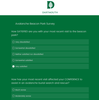
The Wilderness and Austere Medicine Program at Dartmouth Health and the Geisel School of Medicine at Dartmouth, in collaboration with the Mount Washington Avalanche Center, are conducting a survey to understand the experiences and behaviors of users in the avalanche beacon park. Your insights are invaluable to us! By participating, you'll help us enhance safety and educational programs for all who recreate in avalanche terrain. We greatly appreciate your time and contribution.
Survey Time: 5 min